The Skinwalker Spectrum
Chapter 11 of Future Visions holds the hardest physics paragraph in the AAWSAP canon: at Location D2 on the Skinwalker Ranch mesa, a survey team's spectrum analyzer recorded two large signals, at 1210/1213/1216 and 1232.5/1235.5/1238.5 MHz, in both polarizations, that had not been there the day before. The report noted the bands' allocation, suggested satellites, requested further research, and moved on. This bench is the further research. Every step inside each triplet is exactly 3 MHz, which is the analyzer's recommended filter width, and the instrument prints at most three markers per signal; the report itself counts two signals, not six. The satellite lead dies by arithmetic: the whole GPS constellation summed lands 58 dB under the analyzer's marker threshold. The allocation sentence turns out to be a verbatim copy of the Federal column, which describes every square metre of the country. And the terrain census comes back with one name: of the three long-range radars in range, Francis Peak and Rock Springs are blocked by a kilometre and a half of Uinta ridge, while Grand Junction's ARSR-2, 118 km southeast, holds a genuine grazing line to the mesa that opens and shades with the day's refraction, painting the ranch every 10 to 12 seconds when the weather allows. The same chapter chased its other two strong signals to a named Wi-Fi router and a named cordless phone. This pair got one sentence. Sixteen years later, here is the second visit.
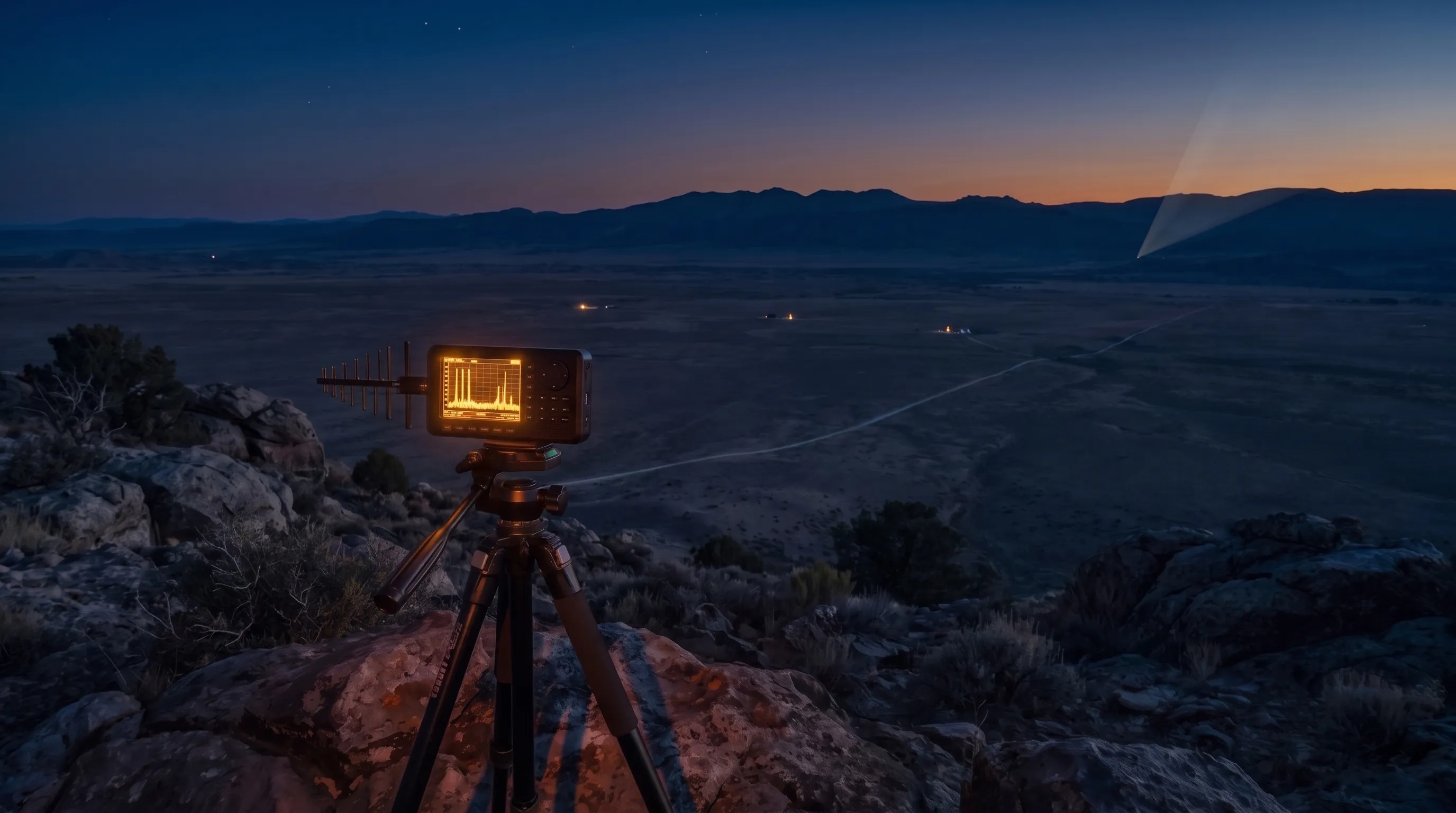 Open the interactive ▸
 What you're looking at
The sweep is the screen: the six reported frequencies drawn as printed over the band they fell in, with the allocation rows painted on the axis. Overlays add the neighborhood at true scale: the entire GPS constellation as a hump that never reaches the noise floor, the DME channel plan ending at 1213, and the one radar in view as a level range across its passband. Switch to the model and the same screen is re-rendered as two carriers through the analyzer's filter: at 3 MHz the six marks return; at 100 kHz they collapse into two clean lines. The RBW dial is the dial the survey never turned.
The horizon is the terrain: the real mountains from the Wasatch to the Colorado line, with the ranch, the four candidate emitters, and every sightline drawn over 4/3-earth geometry. Francis Peak and Rock Springs die on the Uinta ridge in any weather; Grand Junction grazes through. A profile inset shows the selected path with its Fresnel zone, and the refraction dial (dry, standard, moist) opens and shades the one line of sight. The observer switch moves you from the ranch floor to the high ground, because D2's exact spot was never published.
The table is the paperwork in three modes: the Federal column beside the book's sentence (a verbatim transcription, shown as such), the power ladder from the radar's main beam down to a single GPS satellite (137 dB top to bottom, with the analyzer's marker line and noise floors hung in between), and the chapter's own trio: three strong signals, two identified in print, one file left open.
The file hangs twelve cards: the claim, the instrument, the lattice, the transcribed table, the executed satellite lead, the half-answered DME channels, the terrain census, the grazing path, the band's designed tenants, the trio precedent, the polarization note, and the honest remainder. Below them, two verdicts at exactly equal size.
Why it's here
The station's review of Future Visions records what that book is: the AAWSAP program's own file, written by its director James Lacatski, half technical inventory, half case dossiers. Chapter 11 is the instrumented survey of Skinwalker Ranch, and the physically hardest paragraph in it is Location D2's two large signals: frequencies, polarizations, an "absent the day before", and then no levels, no date, no follow-up. Most anomalies in the book cannot be computed. This one can: six frequencies can be checked against the channel plans, an allocation quote can be checked against the table, terrain can be checked for sightlines, and the instrument has a manual. This bench opens all four ledgers.
It also continues two existing lines. On the casework line, INST-30 Washington 1952 and INST-34 ECM Phantom Targets both ask how things get onto a radar screen; this bench is the mirror of that question: not a radar watching the sky, but a spectrum analyzer watching the radars. On the same-book line, INST-73 The Radiation Dose has already priced the medical verdicts of Future Visions' PMPA #6; this bench takes up the one computable RF record in the same stack of PMPAs. The method is chapter 11's own precedent: that survey logged three strong signals, ran the Wi-Fi and the cordless phone to named ground, and left this pair with "further research required". The bench does not overrule the report; it finishes the lookup the report started, and hangs both readings at equal size.
How it works
Everything on the bench is either a quoted document or arithmetic on quoted documents: the paragraph, the allocation table, the analyzer manual, the GPS interface specification, the radar site records, and terrain data with its provenance stated. A script that ships with the site re-derives every displayed number before the build is allowed to pass, including the four the whole bench turns on: the 3 MHz lattice, the 58 dB GNSS deficit, the 1,750 m Francis Peak block, and the one grazing line of sight.
steps = 3.0 MHz = RBW · GPS 8 SV: −128 dBm vs −70 dBm marker = 58 dB short · FP ridge: −1,750 m · GJ mid-path: +27 m ≈ 0.49 F₁ · beam period 10–12 s
The lattice is arithmetic, the reading is labelled. That every intra-cluster step equals the recommended filter width is a fact of the six printed numbers. That the screen therefore held two carriers seen coarsely is a model of the instrument, and the bench files it as such, resting on the manual's documented behaviour: the recommended 3 MHz filter, the three-marker display, and the manufacturer's own warning that coarse filters split single signals into several close ones.
The suspect the report named is the one the physics kills. The GNSS ledger is deliberately generous: minimum received power taken at the strongest satellite block, eight satellites summed, the analyzer given its best preamps. The constellation still falls 23 dB under the noise floor. Killing the report's own lead with the report's own instrument spec is the bench's cleanest result, and it cuts against the prosaic reading's convenience: the easy answer was wrong too.
The terrain census is peak-preserving and cross-checked. Profiles take neighborhood maxima so a blocking ridge cannot be averaged away, endpoint elevations are pinned to site records, and every clear/blocked verdict was reproduced independently on USGS 3DEP. The census's negative results matter as much as its positive one: the radar everyone would reach for first, Francis Peak, has never seen this mesa.
The one attribution is priced as a range, not a match. Grand Junction's exact frequency assignment is not public, so the bench draws its received level as a band across the ARSR passband and says so. The grazing path's weather dependence is modelled with the standard k-factor and knife-edge tools and presented as the mechanism that makes a permanent radar intermittent at the receiver, which is the observation's one strange feature. An available cause, honestly labelled, is not a demonstrated cause, and the file view says that too.
What survives every dial is worth stating: the observation is faithfully quoted and physically unremarkable in every parameter except its unfinished paperwork; the six frequencies carry the instrument's fingerprints; the named suspect is arithmetically impossible; exactly one large emitter had a line to the mesa, and that line breathes. Whether the remainder is an identification that was interrupted or a transient that outlived identification is the reading the bench leaves to you.
The dials that decide what happens
Two screen modes, an RBW dial, four overlays, an observer switch, a refraction dial, four paths, three table modes. Between them they assemble and disassemble one paragraph of the AAWSAP record, which is the exhibit.
- As printed or the model. The six marks as the book gives them, or two carriers through the analyzer's filter. The model at 3 MHz reproduces the printed screen; the model at 100 kHz shows what one turn of the dial would have settled.
- The RBW dial. 100 kHz to 3 MHz. The manual calls 3 MHz "usually ideal"; the bench lets you disagree.
- The GNSS overlay. The whole constellation at true received power: the report's suspect, drawn to scale against the marker line it never reaches.
- The DME overlay. The channel plan that explains two of cluster A's three lines and cannot explain the third.
- The observer switch. Ranch floor or the local high ground: D2's exact spot was never published, so the bench computes both and labels which.
- The refraction dial. Dry, standard, moist: the one line of sight shades to a quarter of its Fresnel zone or opens past three quarters. This dial is the "absent the day before".
- The path pills. Grand Junction, Francis Peak, Rock Springs, Myton: one grazing green line and the census that makes it matter.
- The table modes. The verbatim check, the 137 dB power ladder, and the chapter's two-out-of-three precedent.
The claims, as they stand
Six claims that orbit Location D2, from the report's own sentences to the framings its readers have added, with where each lands against the paperwork.
| Two large signals appeared at Location D2 that were absent the day before proposed by the BAASS report, as quoted in Future Visions ch. 11 | MEASURED | Taken as an accurate transcription, because it is the only record there is; and the bench finds nothing implausible in it. A grazing 118 km path that opens and shades with the day's refraction, a band whose military tenants are documented frequency-changers, and a rotating beam make "there today, absent yesterday" ordinary physics rather than a paradox. |
| The screen held six distinct signals proposed by implicit wherever the six frequencies are quoted as six detections | REFUTED | Refuted by the report's own words and the bench's arithmetic: the passage counts "two large signals", and every intra-cluster step is exactly 3.0 MHz, the analyzer's recommended filter width, with each cluster spanning exactly one filter width to each side. Two carriers through the documented filter reproduce all six numbers. The two-carrier reading is a model of the instrument, but the count of two is the report's own. |
| The origin may be satellites, pending research into transmitting frequencies and times proposed by the report's own closing sentence | REFUTED | Refuted by the power ledger: GPS L2 does live between the clusters, but the entire visible constellation, eight satellites summed, lands about 23 dB under the analyzer's best-case noise floor and 58 dB under its default marker threshold. GNSS cannot draw a large spike on a handheld analyzer; it cannot draw anything. The report's one named lead is the one candidate arithmetic excludes outright. |
| The allocation list marks the space as exotic and primarily military, hinting the signals are too proposed by the framing of the passage | CONTESTED | Contested by the table itself: the sentence is a verbatim transcription of the Federal column, correct and unremarkable, describing the long-range radar band and GPS's home everywhere in the country. G56's "primarily for the military services" is real, and cuts both ways: it names a documented population of deliberately frequency-agile emitters as the band's normal residents. |
| No prosaic emitter could have put those marks on that screen at that spot proposed by implicit in the anomaly reading | CONTESTED | Contested by the census: of the region's three long-range radars, two are terrain-blocked outright, but Grand Junction's ARSR-2 has a genuine, grazing line to the mesa, arriving at levels from full-scale (main beam) to 34 dB over the marker line (deep sidelobe), every 10-12 seconds, weather permitting. Against that: its exact frequency is not public, so this is an available cause, not a demonstrated one. |
| The signals remain unidentified proposed by the state of the file, sixteen years on | MEASURED | Measured and true: no emitter has ever been matched to the six numbers, cluster A's DME channels have no found tenant, and the follow-up the report requested never appeared in print. Both verdicts claim this fact: one as the residue of an identification interrupted, the other as a transient that outlived every lookup. The bench prices; it does not vote. |
Try this
- Start on the sweep and read the braces. The report's own count is printed over the marks: "the first signal", "the second large spike". Two, not six.
- Switch to the model at 3 MHz. Two carriers, six marks: the printed screen returns. Now turn the dial to 100 kHz and watch the triplets collapse.
- Tap the GPS hump. The whole constellation, to scale: it never touches the noise floor. The report's one named lead, executed by arithmetic.
- Turn on the DME overlay. Channels 123 and 126 light up under 1210 and 1213; nothing exists under 1216; and Myton's constant squitter sits far away at 1161.
- Go to the horizon and run the census. Francis Peak: a red line dying on the Uinta ridge. Rock Springs: the same. Grand Junction: green, grazing, through.
- Turn the weather dial on the Grand Junction path. Dry day: the Fresnel band drowns in terrain. Moist day: it lifts clear. A permanent radar that visits.
- Open the ladder. From a single GPS satellite to the radar's main beam is 137 dB. The marker line sits where the report's "large signals" begin.
- End on the file. Twelve cards, then two verdicts at equal size: an identification interrupted, or a transient unmatched. The numbers are sourced; the reading is yours.
Accuracy
The honest line between what is reported, what is measured, what is modelled, and what is a reading:
| Feature | Status | What that means |
|---|---|---|
| The paragraph | Reported | The six frequencies, the two bands, the H/V note and the day-before absence, verbatim from Future Visions ch. 11 (PMPA #2). No independent record of the observation exists: no raw trace, level, date or exact position was ever published, and the bench attributes every observational fact to the book. The same chapter's TSCM trio (2.4 GHz Wi-Fi, 1.92 GHz cordless, both identified in print) is quoted as the report's own method. |
| The external baselines | Reported | The allocation rows and footnotes G56/G132 verbatim from 47 CFR 2.106 / the NTIA Compendium (stable since WRC-2000); the Aaronia V4 manual's filter, marker and threshold values; the radar site records (Francis Peak ARSR-1E, Grand Junction and Rock Springs ARSR-2 in 2009-10; no ARSR-4 near Utah); ITU-R M.1463 system parameters; the DME channel plan and the Myton VORTAC record. |
| The terrain | Measured | Profiles baked from AWS Terrain Tiles (terrarium, z=10) with peak-preserving sampling, endpoints pinned to site records, 4/3-earth geometry with the k-factor on a dial; the clear/blocked verdicts were independently reproduced on USGS 3DEP point queries during the build's source work. GPS minimum received power is the published IS-GPS-200H figure. |
| The bench's arithmetic | Derived | The 3 MHz lattice (every intra-cluster step exactly the recommended filter width), the GNSS ledger (one SV −137 dBm in a 3 MHz bin, eight SVs −128, floors −90/−105, marker −70: 58 dB short), the link budgets (FSPL 135.7 dB, main beam ≈ 0 dBm at the ranch), the Fresnel margins and knife-edge losses, the 10-12 s paint interval. All re-derived by scripts/skinwalker-spectrum-tune.mjs before the build passes. |
| The two-carrier reading | Modelled | The bench's reconstruction of the screen: carriers at the cluster centers rendered through the analyzer's filter at each RBW. It is an inference from the instrument's documented behaviour (3 MHz recommended filter, three markers max, the manual's own single-signal-smearing warning), stated as a model of the instrument response, never as a fact about the source. |
| The attributions | Reading | No candidate is MATCHED to the six numbers: Grand Junction's exact frequency is not public (its bar is a range across the ARSR passband), no DME station was found on channels 123/126, and no specific military emitter is placeable. Candidates are priced against the observation, and the pricing is labelled. |
| What the file means | Reading | Whether D2 is an interrupted identification or an unmatched transient. The bench computes everything both readings rest on, hangs them at equal size, and declines to vote. |
In one line: the paragraph, the manual, the table, the channel plans and the site records are REPORTED, quoted verbatim with the observation attributed to the book throughout; the terrain and the GPS power figures are MEASURED, with provenance and independent cross-checks stated; the lattice, the ledgers, the link budgets and the two-carrier screen are DERIVED and MODELLED arithmetic re-checked by scripts/skinwalker-spectrum-tune.mjs before the build passes; the attributions are priced as ranges, never as matches; and whether the file records an interrupted identification or an unmatched transient is a READING the bench declines to make, hanging the two verdicts at exactly equal size. Read the screen, run the census, turn the weather, and price the paragraph yourself.
Sources
- James T. Lacatski, Colm A. Kelleher and George Knapp, "Inside the U.S. Government Covert UFO Program: Future Visions" (2024), ch. 11 (PMPA #2, Skinwalker Ranch Scientific Analysis, pp. 113-118): the D2 passage, the allocation sentence, the "further measurements" sentence and the TSCM trio, all quoted verbatim; and p. 217 for the program's field spectrum analyzer. The observation exists only in this book and the BAASS reporting it summarizes.
- FCC Online Table of Frequency Allocations, 47 CFR § 2.106 (rev. 1 Jul 2022), and NTIA Compendium of Frequency Band Use, band sheets 1164.00-1215.00 and 1215.00-1240.00 (1 Mar 2014): the Federal column rows, footnotes G56 and G132 verbatim, the long-range-radar usage note and the tactical-radar tuning note. The two editions agree on every substantive point; the allocations have been stable since WRC-2000, so the 2009 table read the same.
- Aaronia "Manual SPECTRAN V4" Rev 1.24 (26 Jan 2013) and the SPECTRAN HF-60100 V4 datasheet: the 3 MHz RBW recommendation, the three-marker display ("the strongest signal sources"), the −70 dBm default marker threshold, the −155/−170 dBm (1 Hz) noise figures, and the manual's warning that a single signal swept at high bandwidth can display as several close signals. The hardware revision BAASS carried in 2009-10 is not public; the V4 figures are the generous case.
- IS-GPS-200H (24 Sep 2013), Table 3-Va and §3.3.1.6: minimum received GPS L2 power (−161.5 dBW in 20.46 MHz for IIR-M/IIF, at a 3 dBi linear antenna near ground), and §6.3.1 for the maximum expected. The bench's GNSS ledger is arithmetic on these figures.
- NTIA Report 82-92, "Output Tube Emission Characteristics of Operational Radars": the ARSR-1E description (1215-1400 MHz, 400 kW magnetron plus 10 dB amplitron) and the 1220-1380 MHz output bandpass filter.
- ITU-R Recommendation M.1463-2, Table 1 (reproduced in the NTIA band sheet): the radiodetermination system parameters used for the ARSR class (System 6: 96 dBm peak, 34 dBi, 5-6 rpm, magnetron/amplitron; polarizations horizontal, vertical and both circular), and System 3's 3.75 MHz sub-pulse spacing for the ARSR-4/FPS-117 family, quoted to show the observed 3.0 MHz spacing does NOT match it.
- Radomes.org site records for Francis Peak, UT (ARSR-1E; CARSR from 28 Aug 2012; 41°01'58.6"N 111°50'18.5"W) and Rock Springs, WY (ARSR-2 from 1962; 41°26'05"N 109°07'03"W); FortWiki for the Grand Junction, CO FAA radar site (ARSR-2 from 1963, CARSR 2015; 39.639°N 108.763°W, above Douglas Pass) and the Joint Surveillance System site list (the nearest ARSR-4s are southern-border sites; none in the interior West).
- The DME/TACAN channel plan (reply band 962-1213 MHz, 1 MHz channels, interrogation/reply offset 63 MHz; upper-block replies = channel + 1087) and the FAA record for Myton VORTAC (MTU, 112.70 MHz, channel 074X, 40°08'57"N 110°07'39.5"W); Rohde & Schwarz application note 1EF91 for the constant 2,700 pulse-pair squitter duty of DME ground stations.
- Terrain: AWS Terrain Tiles (elevation-tiles-prod, terrarium encoding, z=10), sampled August 2026 with peak-preserving 5-point maxima; clear/blocked verdicts independently reproduced on USGS 3DEP Elevation Point Query Service values. Propagation: 4/3-effective-earth geometry (the 4.12 constant derived exactly), first Fresnel zone radii, and the ITU-R P.526 single knife-edge approximation.
- This site's review of Future Visions (Culture 01) and its Radiation Dose bench (INST-73), which prices the same book's PMPA #6; the observation's date window (deployments September 2009 to April 2010) and the TSCM trip dates (31 Aug - 4 Sep 2009) per chapter 11.
Six numbers, one open file. Finish the lookup the report started.
Open the interactiveCompiled August 2026